Work 02 · Aravalli Range, Rajasthan · 2025
How a court definition can erase 96.5% of India's oldest mountains
Applying the Supreme Court's new legal test to satellite elevation data shows protected area shrinking from 267,009 km² to 9,224 km².
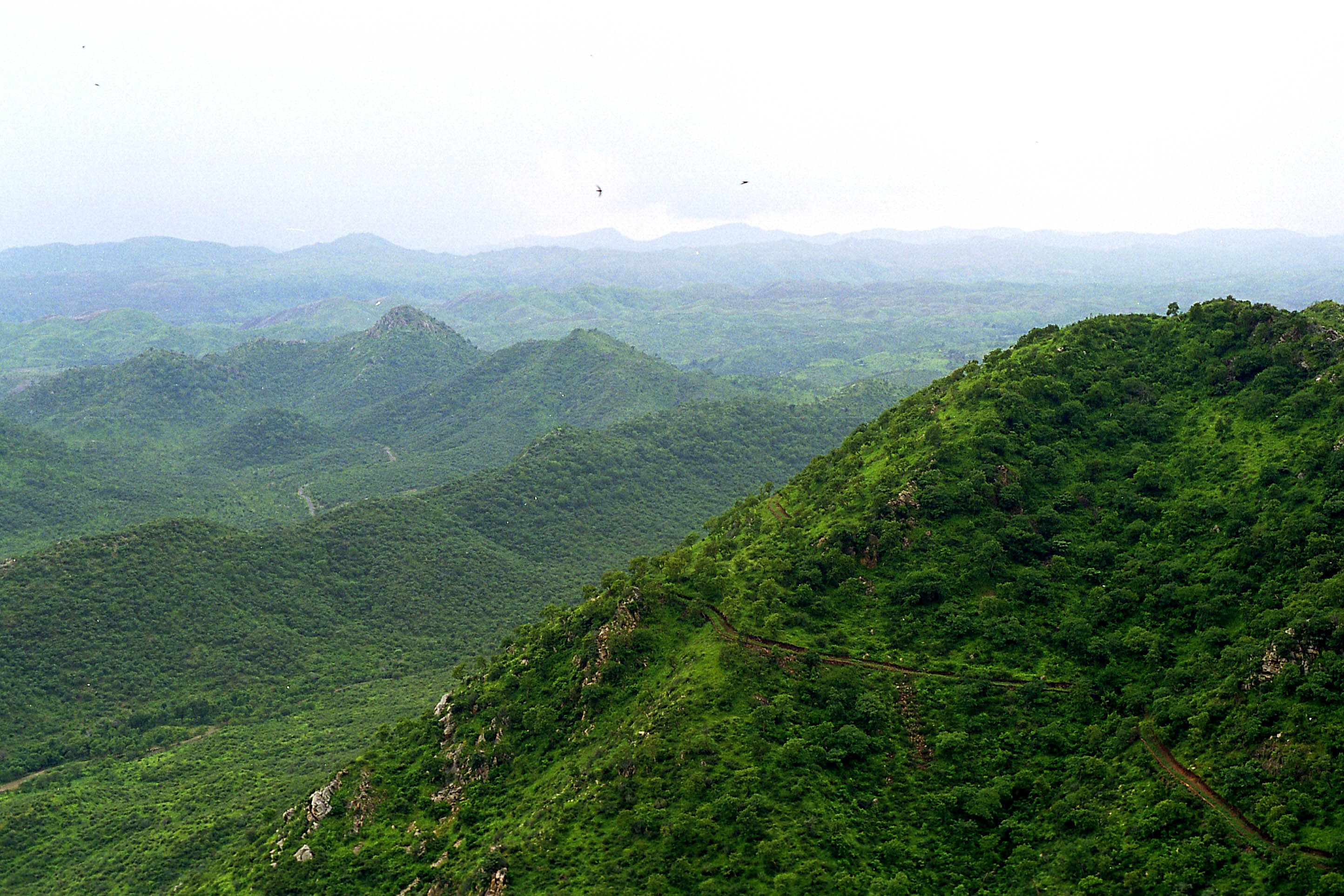
Found that over 96% of the historically understood Aravalli range would not qualify for legal protection under the Supreme Court of India's November 2025 definition, which introduced new prominence and clustering criteria. Applied these criteria to satellite-derived elevation data using a transparent, replicable methodology that integrates GIS, statistical analysis, and data visualization to translate a technical legal standard into concrete spatial outcomes.
From the repository · rushikeshay/Aravalli-Article
Data
The large data files are not included in this repository due to size constraints.
| File | Size | Source |
|---|---|---|
Data/Aravali_data.tif |
~1.2 GB | OpenTopography COP30 DEM — region: 72°E–77°E, 24°N–29°N |
Data/elevation.npy |
~2.6 GB | Generated by aravali_3.py |
Data/final_mask.npy |
~324 MB | Generated by aravali_3.py |
Data/hill_mask.npy |
~324 MB | Generated by aravali_3.py |
Data/in_shp |
~ 2 MB | HDX India - Subnational Administrative Boundaries |
Methodology Summary
- Old tentative definition baseline: terrain above 200m elevation (267,009 km²)
- New court definition: hills with ≥100m topographic prominence (calculated over a 2km radius focal window), where qualifying hills within 500m of each other form a protected "range" (9,224 km²)
- Prominence calculation: focal minimum subtracted from pixel elevation across a 2km circular window
- Clustering: morphological dilation at 500m radius + connected component labeling
- DEM resolution: 30m (COP30)
Full methodology is described in the article's methodology section.